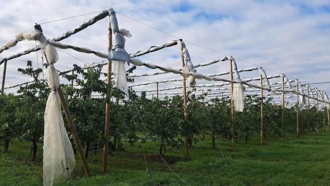


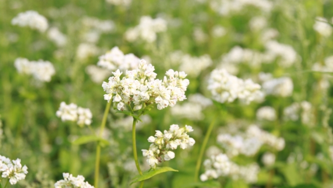
SIA “Blonti” is one of the rural businesses in Latgale that successfully combines many years of experience with a modern approach to agriculture. The company was established in 1992 and has been developing grain farming in Blonti Parish, Ludza Municipality ever since. It is certified organic and specialises in growing grains. In 2023, it cultivated over 400 hectares of farmland, growing wheat, oats, buckwheat and peas. This produce is sold in Latvia, ensuring a stable supply of locally sourced…
SIA “Blonti” is one of the rural businesses in Latgale that successfully combines many years of experience with a modern approach to agriculture. The company was established in 1992 and has been developing grain farming in Blonti Parish, Ludza Municipality ever since. It is certified organic and specialises in growing grains. In 2023, it cultivated over 400 hectares of farmland, growing wheat, oats, buckwheat and peas. This produce is sold in Latvia, ensuring a stable supply of locally sourced raw materials. To further improve production efficiency and crop quality, the company is gradually implementing modern precision agriculture technologies. With the support of the European Union, the farm is actively implementing several projects to…