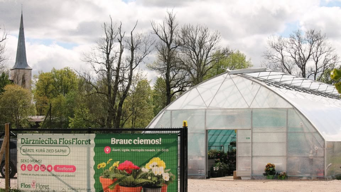


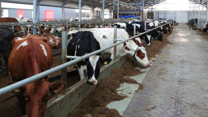
Located in Piltene Parish, Ventspils Municipality, "Ābolkalni" Farm began operations in 1994 with less than 100 cows and a single tractor. Over the course of thirty years, the farm has evolved into a modern family business, now managed by Artis Fetlers and his son Emīls. The farm's foundation is its high-quality herd of 300 dairy cows, which produce an average of over 10 tons of milk per year. In 2019, ZS 'Ābolkalni' introduced innovations to the farm by installing a state-of-the-art DeLaval…
Located in Piltene Parish, Ventspils Municipality, "Ābolkalni" Farm began operations in 1994 with less than 100 cows and a single tractor. Over the course of thirty years, the farm has evolved into a modern family business, now managed by Artis Fetlers and his son Emīls. The farm's foundation is its high-quality herd of 300 dairy cows, which produce an average of over 10 tons of milk per year. In 2019, ZS 'Ābolkalni' introduced innovations to the farm by installing a state-of-the-art DeLaval milking robot. In 2020, with the support of the EAFRD, an ambitious project was implemented involving the construction of a modern three-barn complex and a slurry storage facility to ensure the highest level of animal welfare and efficiency. The barns…